
Kensington LCI Master Plan Update
A Connected Vision for Kensington
Kensington is an important crossroads in central DeKalb County, connecting neighborhoods, corridors, activity centers, public facilities, and transportation networks surrounding the Kensington MARTA Station.
The Kensington Livable Centers Initiative (LCI) Study will build on previous planning efforts while bringing together current data, community input, and implementation considerations to create an updated framework for the larger Kensington area. The study will look beyond individual sites and projects to consider how the area functions as a whole. It will evaluate existing conditions, identify needs and opportunities, explore potential improvements, and establish priorities to help guide future planning, investment, and implementation.
Study Area
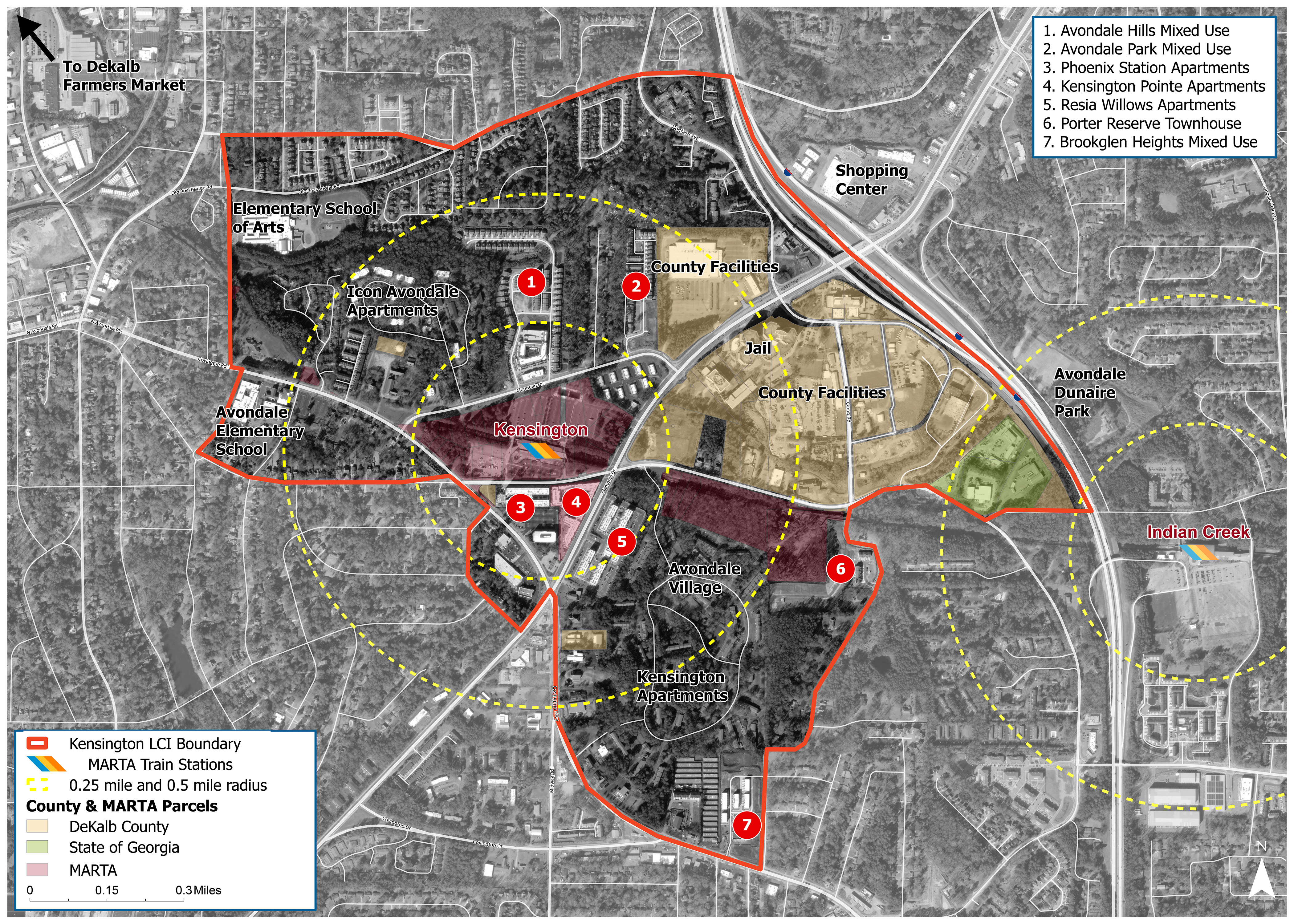
The Kensington LCI encompasses an approximately 870-acre study area surrounding Kensington MARTA Station and the DeKalb County Government Center and also considers nearby communities within an area of influence extending approximately one-half mile beyond the study boundary. The study includes neighborhoods, commercial areas, major roads, community destinations, public facilities, and transportation connections.
What is an LCI?
LCI stands for Livable Centers Initiative, a program of the Atlanta Regional Commission (ARC) that helps communities plan for vibrant, walkable places where land use and transportation work together. The program supports mobility choices, healthy and safe communities, access to jobs and services, and strong local economies.
LCI studies go beyond establishing a vision by identifying strategies, priority projects, and implementation steps to help move that vision forward.
Funding for this project is provided through ARC’s Livable Centers Initiative, which awards federal grants to support vibrant, walkable communities with greater mobility options, healthier lifestyles, and improved access to jobs and services.
Learn more about ARC's Livable Centers Initiative at Livable Centers Initiative (LCI) .
What Are We Studying?
Land Use + Development
Assess existing land use and development patterns, identify redevelopment opportunities, and promote mixed-use development and vibrant destinations.
 Transportation + Connectivity
Improve mobility, accessibility, and safety for all travel modes, including walking, bicycling, transit, and driving, with an emphasis on first- and last-mile connections.
 Housing + Affordability
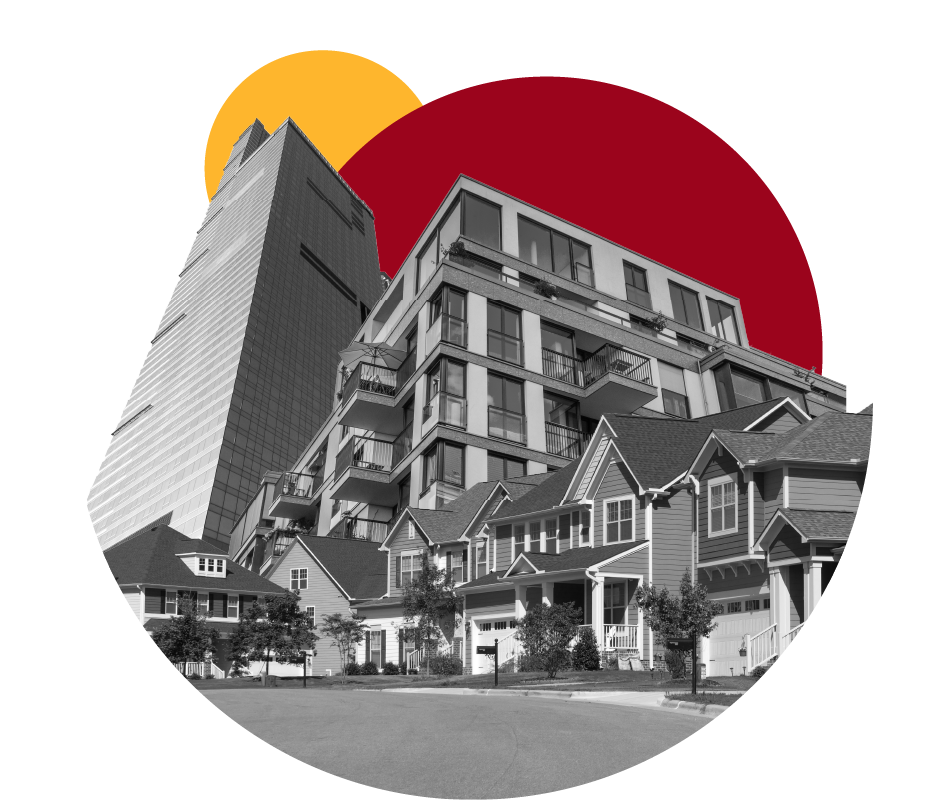
Assess current and future housing needs and identify strategies to expand housing choices, improve affordability, and minimize displacement.
 Economic Development + Market Conditions
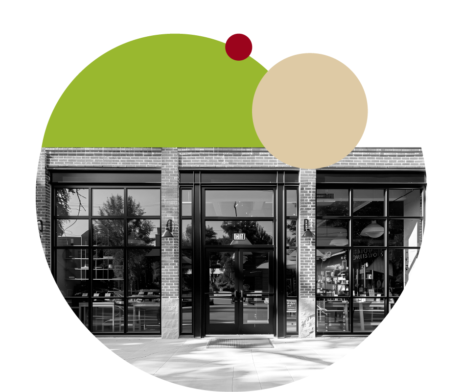
Evaluate market demand, business and employment opportunities, and access to goods and services to support economic vitality and continued investment.
 Public Spaces + Placemaking
Explore opportunities for new parks and gathering spaces, improved streetscapes, public art, and landscaping to strengthen community identity and create a more welcoming environment.
 Sustainability + Infrastructure
Evaluate environmental conditions, stormwater management, green infrastructure, and infrastructure needs to support resilient, sustainable development and future improvements.
The Planning Process
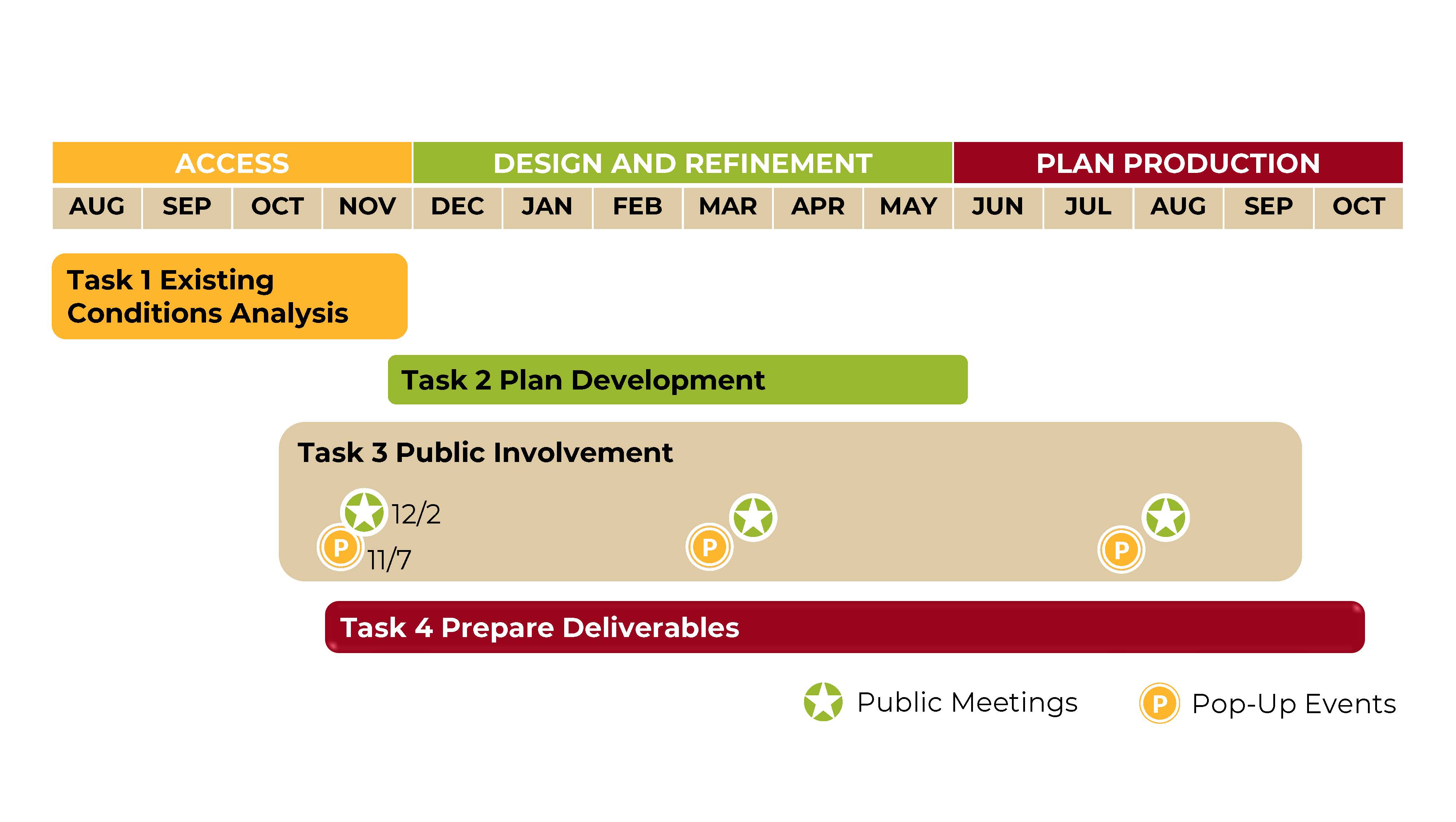
This is part of a multi-step process. Currently, we are in the initial “Access” phase working on the Existing Conditions Analysis!
Kensington: Past + Present
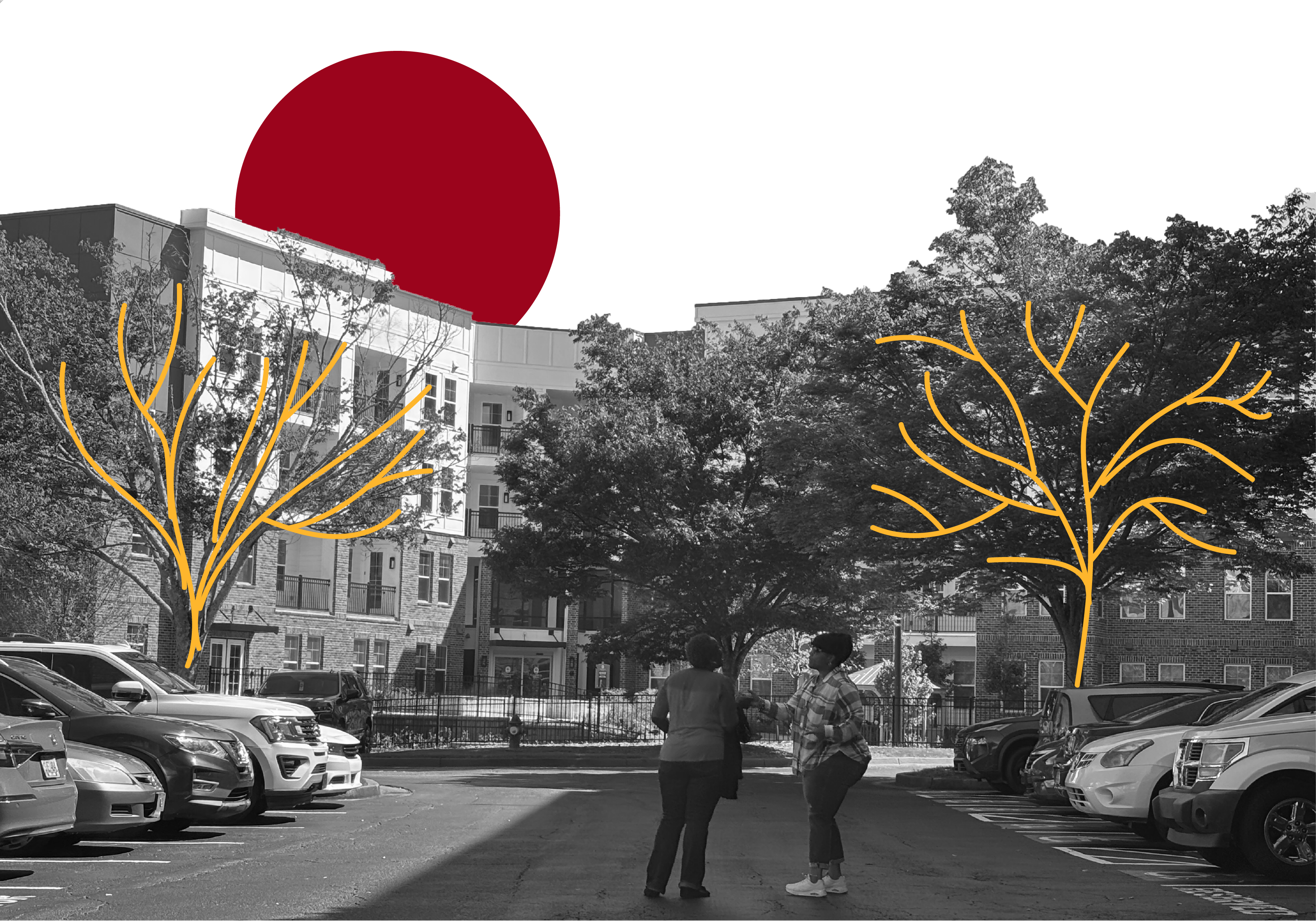
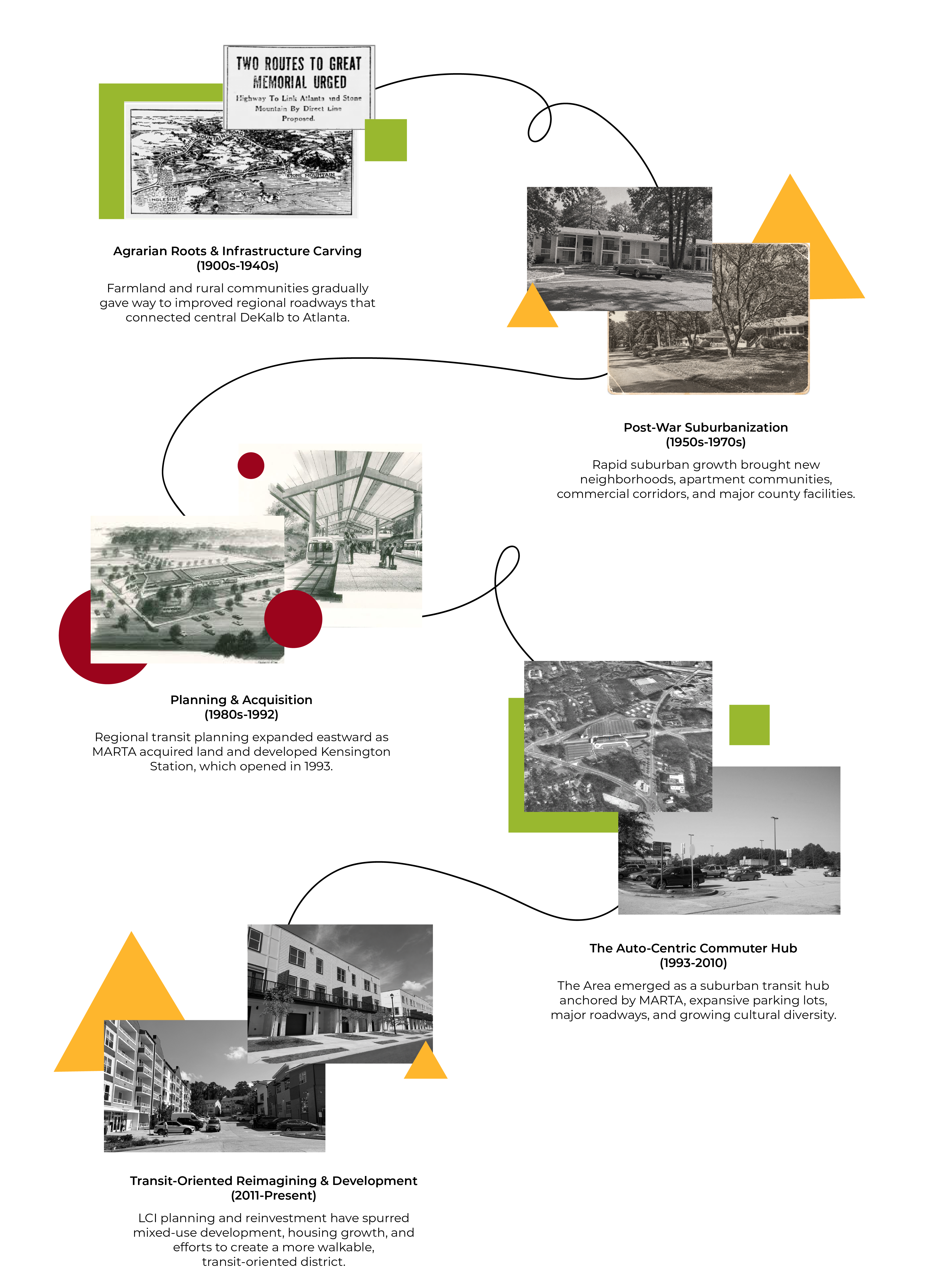
Kensington’s character reflects decades of change in central DeKalb, from Memorial Drive’s growth as a major commercial corridor to shifting development patterns and periods of reduced investment. The area has also become increasingly diverse, with immigrant and refugee communities shaping its neighborhoods, businesses, and public spaces. Transit has played a key role in this evolution, with regional planning for Kensington and Indian Creek dating to the 1970s and Kensington Station opening in 1993. This history provides important context for the Kensington LCI, which will consider current conditions while respecting the area’s diverse experiences and recognizing that residents may have different perspectives on past and future change.

-

-

-

Phone 470-751-2521 Email jli@tsw-design.com -

Phone 470-277-4487 Email tcolpetzer@tsw-design.com
