Urban Tree Canopy Assessment
DeKalb County Releases New Urban Tree Canopy Report
Study Reveals Critical Insights for a Greener Future
DECATUR, Ga – DeKalb County Department of Planning and Sustainability announces the release of its Urban Tree Canopy (UTC) Study, a detailed assessment quantifying the extent and impact of the county's tree coverage.
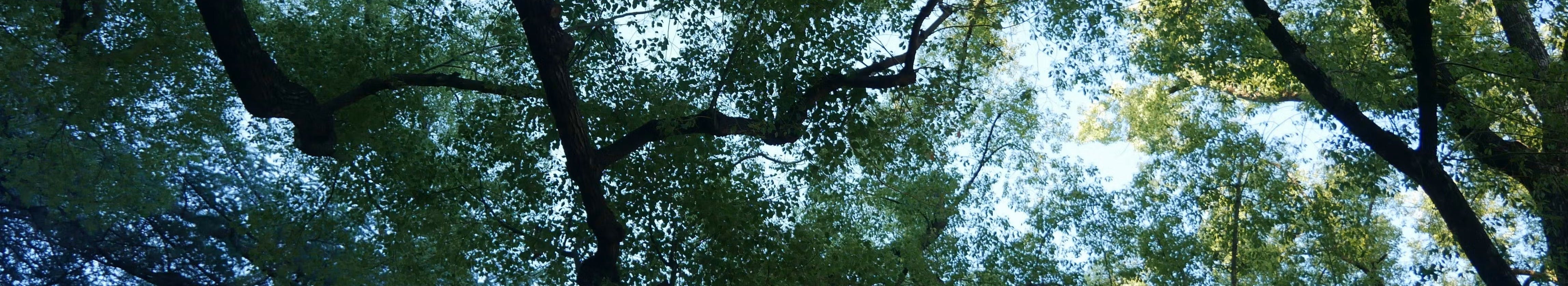
Urban Tree Canopy, defined as the area of leaves, branches, and stems covering the ground when viewed from above, plays a crucial role in maintaining healthy and sustainable urban environments.
This project aims to provide a clear understanding of the current state of DeKalb County’s urban forest and how it has changed over time. By documenting these changes, the County can better assess the environmental impacts of land use decisions and plan more effectively for the future.
The UTC study, conducted by Eocene Environmental Group, utilizes satellite imagery and advanced GIS mapping methodology to provide a precise snapshot of the county's current and historical tree canopy. The assessment examines changes over the period from 2010 to 2023, and covers the unincorporated areas of DeKalb County, which tend to be less developed than the incorporated cities. The study also highlights the significant environmental, social, and economic benefits provided by DeKalb’s urban forest and identifies key areas for management strategies.
View the full report here, or at the link to the right.
Click the image to explore the DeKalb's Urban Tree Canopy Study story map:

Aerial photo of Legacy Park, facing East--provided by DeKalb County GIS Department
Click on the Image below to explore the DeKalb County Urban Tree Canopy Swipe Tool. Use this tool to explore areas of tree canopy loss and gain in unincorporated DeKalb from 2010-2023.

Past Announcements
DeKalb County's Urban Tree Canopy (UTC) assessment is underway!
The purpose of this project is to establish a current tree canopy map, and to use historical data to track tree canopy change over time. The data from this research will provide better understanding of the environmental impacts of land use decisions and will help inform strategic planning for DeKalb’s urban forests.
This UTC study will include all areas of unincorporated DeKalb County, GA--a total of 158 square miles!
 |  |  |
Explore the complete final study!

Who's Listening
-
Sustainability Coordinator